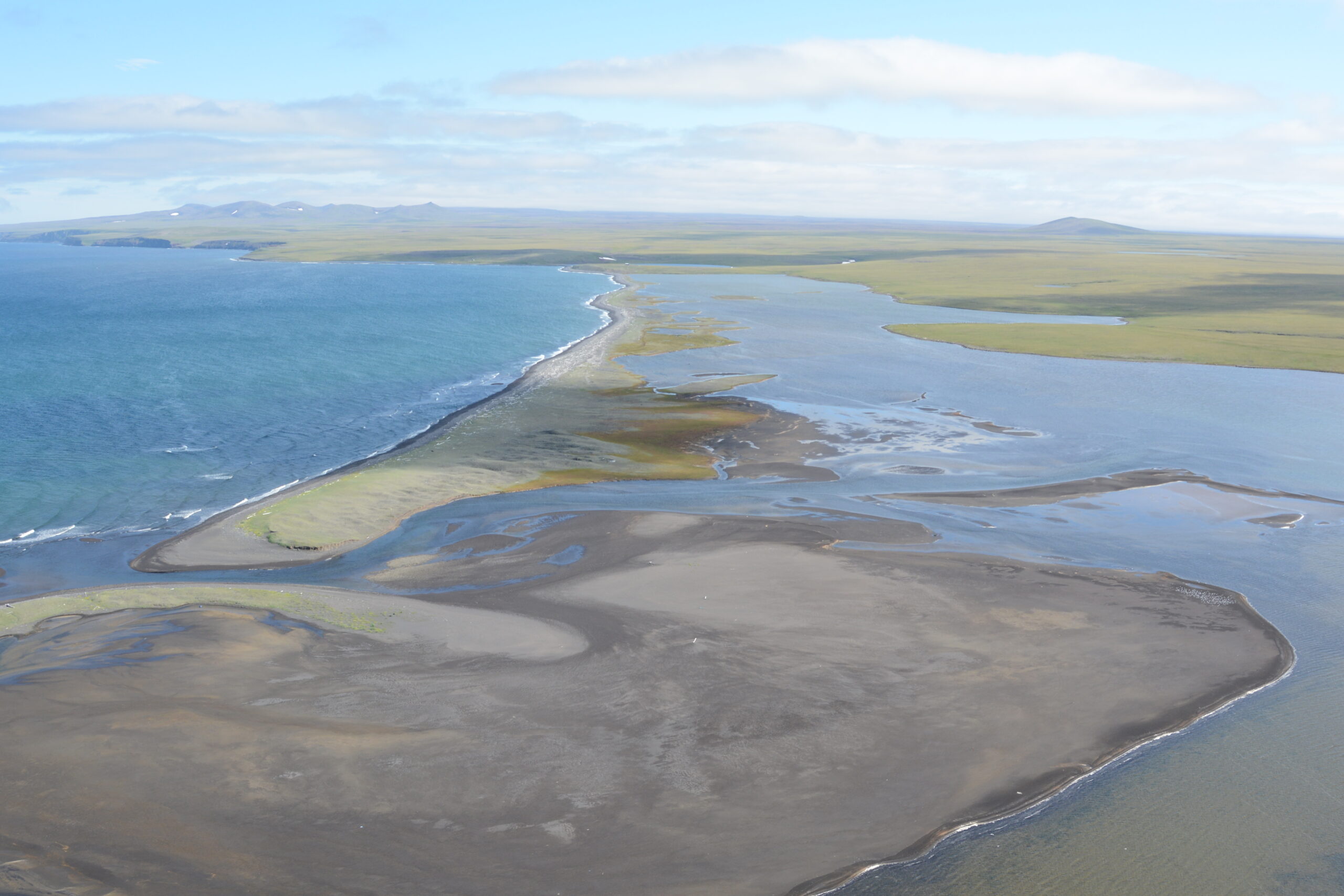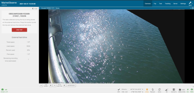
Protected Species Bycatch Monitoring in the Bay of Biscay
Archipelago collaborated with industry partners on a pilot electronic monitoring project in the Bay of Biscay to assess bycatch data collection on small vessels, supporting protected species monitoring while maintaining fishing practices, data integrity, and fisher privacy.