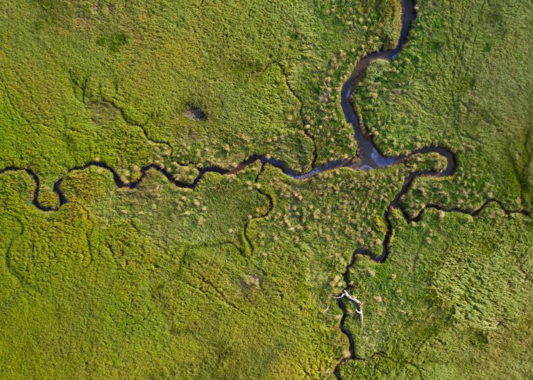
BC Oil Spill Response
Archipelago examines oil spill response planning for British Columbia coastal wetlands, outlining environmental sensitivity, data gaps, and practical cleanup considerations to support effective preparedness, site-specific response strategies, and long-term protection of vulnerable marine and estuarine ecosystems.