ShoreZone Mapping Of Saint Lawrence, Alaska
A coastal habitat mapping system which has been done for the whole coast of the Pacific Northwest. ShoreZone started flying in BC and then moved on to Alaska (Washington and Oregon coastlines have been flown as well) to fly dozens of surveys over the years, collecting low tide imagery to use for classification into descriptive, biophysical spatial dataset. One of the most remote places in Alaska that was surveyed for ShoreZone is Saint Lawrence Island, over 100 kilometres off the coast of Nome Alaska in the north Bering Sea. The survey there was done during summertime low tides, in one week in the middle of July 2013.
May 6, 2021
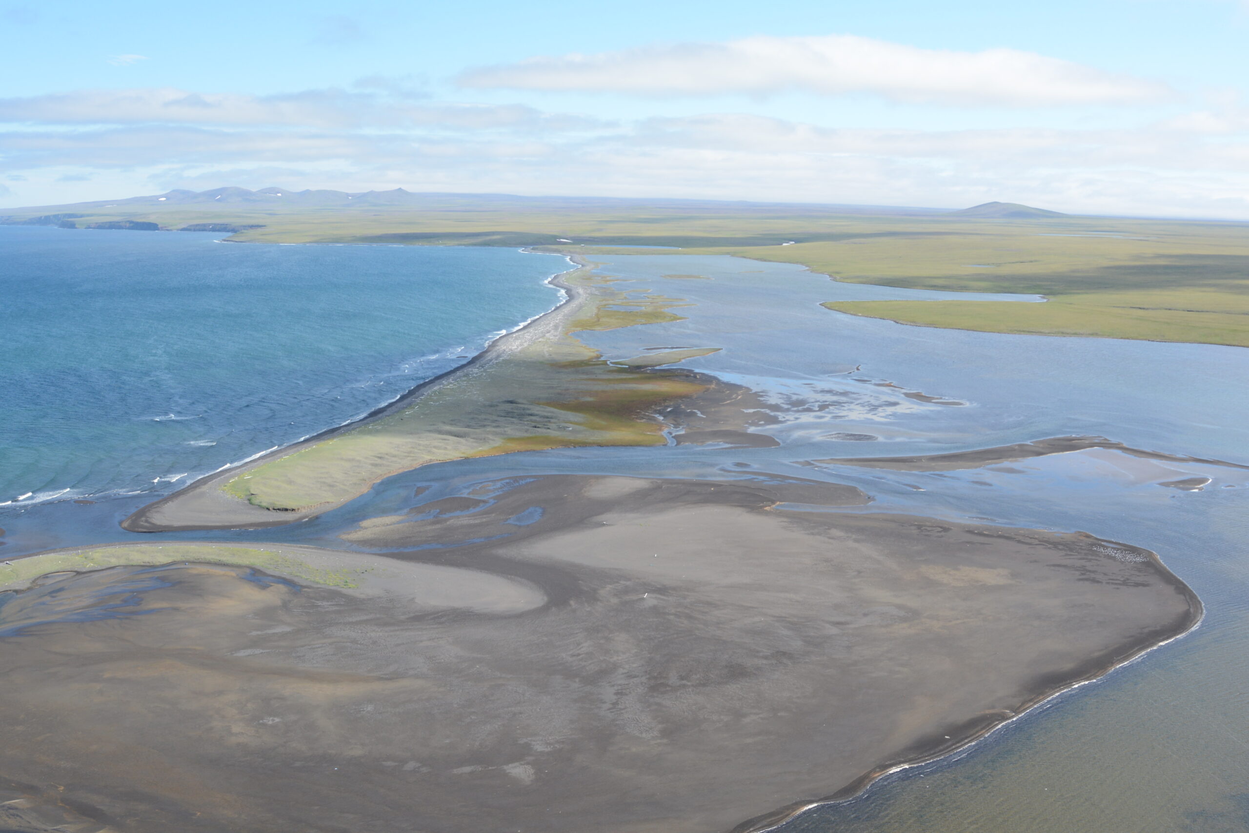
The ShoreZone survey confirmed that much of the shoreline of the island is open to full power of waves from the fetch across the Bering Sea, making high energy and dynamic shores on all the outer coasts. Shore types include soaring rock cliffs rising straight up from the sea to over 600 metres, low cliffs of columnar basalt from old lava flows and 100s of kilometres of barrier sand beaches and backshore lagoons with internal recurved spits. All combinations of wave exposure and shore types, from the most mobile sediment beaches at highest wave energy to the very protected shallow water within the backshore lagoons are present on the Island, making the coastline dynamic and spatial complex. Attached biota were observed on the rocky shorelines, and deep piles of drift seaweed along the south-side of the island indicated there is likely a rich complex of benthic life there in the shallow nearshore subtidal waters. Shore fast sea ice surrounds the island for many months of the year and limits the distribution of attached biota in the intertidal zone. The upland areas of the island are treeless arctic landscape, with a marshy network of thaw melt ponds and tundra, between volcanic cinder cones and bare bedrock outcrops. Land base is less than half the size of Vancouver Island.