As part of an initiative to build Canada’s first offshore wind project, NaiKun Wind Energy Group—a British Columbia-based renewable energy company—engaged Archipelago to perform a marine environmental assessment of the region.
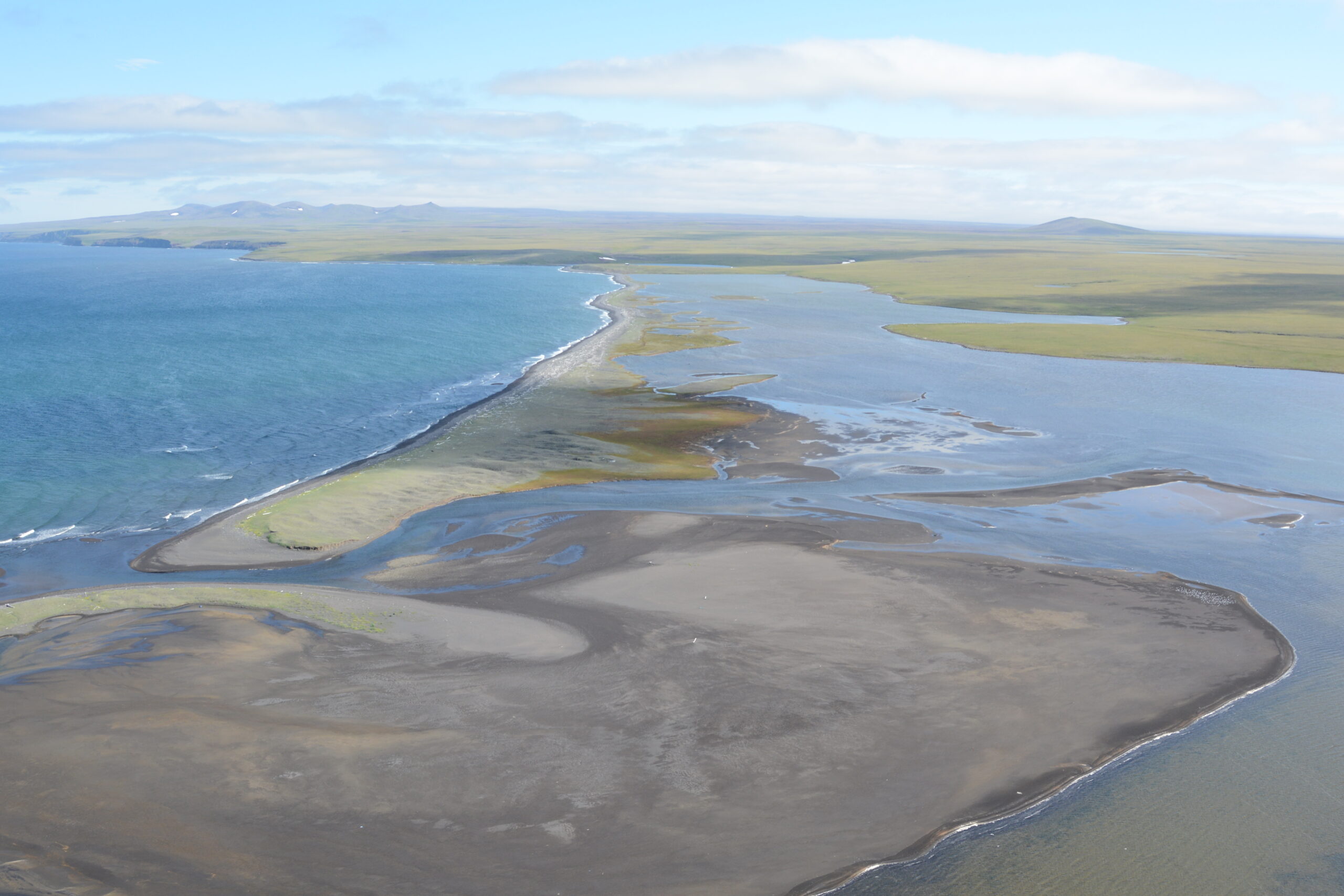
Located off the coast of British Columbia’s Haida Gwaii islands in Hecate Strait, the site of the proposed NaiKun wind energy project is said to offer some of the strongest and most consistent winds anywhere in the world—ideal conditions for a renewable energy initiative of this type.
NaiKun estimates the 396MW offshore wind development would generate enough energy to power 200,000 BC homes and create up to 500 jobs during construction and 50 permanent positions thereafter; however, this region is also highly valued by residents and visitors alike for its natural beauty and unspoiled wilderness.
 For this project to proceed, NaiKun would first need to complete a thorough environmental assessment in accordance with provincial and federal regulatory requirements.
Archipelago undertook the marine ecology component of this assessment, working closely with a multidisciplinary team of industry experts from Hemmera and Pottinger Gaherty Environmental Consultants.
The fact that this project involved multiple geographic locations presented a unique challenge for the assessment team; the plan called for wind turbines to be located at a remote site on Dogfish Banks, with subsea marine cables extending across Hecate Strait to the mainland near Prince Rupert and the islands of Haida Gwaii.
Additionally, the significance of the entire Dogfish Banks region to local Dungeness crab fisheries raised concerns about potential interactions with fisheries and possible impacts to the resource itself. The team needed to fully explore this issue and address these concerns within its environmental assessment.
Gathering data through surveys and sampling
The first step in this assessment was to initiate a comprehensive desktop study, and consult with local fisheries to learn more about the region in order to develop and refine the survey and sampling approaches.
 Archipelago engaged the Haida Fisheries Program for survey vessel and technical support, and together they began assembling a wealth of local area knowledge from a multi–season survey and sampling program. Survey and sampling techniques included:
- Intertidal and subtidal towed underwater video biophysical surveys of landfall sites at Tlell (Haida Gwaii) and Ridley Island (Prince Rupert);
- Subtidal towed underwater video surveys of the wind turbine area on Dogfish Banks;
- Subtidal fish and benthic grab sampling.
Impact assessment and compensation planning
Upon completion of the initial field component, the last stage involved:
- Impact assessment and identification of mitigation measures;
- Involvement in the overall environmental assessment screening process and ongoing review process involving public, agency, and First Nations participants;
- Development of a habitat compensation plan.

With the environmental assessment complete, NaiKun was granted a provincial Environmental Assessment Certificate in 2009 from the British Columbia Environmental Assessment Office for the project. Federal approval followed two years later when the project was granted a federal–level screening decision confirming that, based on the assessment findings and the implementation of appropriate mitigation measures, the project would not likely cause significant adverse environmental effects. As part of the environmental review process, NaiKun made numerous commitments to ensure an ongoing environmental management program.
The successful conclusion of this harmonized environmental review process led to federal agencies issuing the required construction and operating permits, paving the way for the construction of Canada’s first offshore wind energy project, contingent upon receiving an electricity purchase agreement from the BC Hydro and Power Authority.
As of mid–2015, having secured agreements with key suppliers and First Nations stakeholders, the NaiKun Wind project remains at an advanced stage of development, ready to begin construction within two years of receiving an electricity purchase agreement.


 For this project to proceed, NaiKun would first need to complete a thorough environmental assessment in accordance with provincial and federal regulatory requirements.
 Archipelago engaged the Haida Fisheries Program for survey vessel and technical support, and together they began assembling a wealth of local area knowledge from a multi–season survey and sampling program. Survey and sampling techniques included:

