Skip to content
Archipelago Logo
  • Our ServicesExpand
    • Fisheries ServiceExpand
      • At-Sea Observers
      • Dockside Monitoring
      • Electronic Monitoring
    • Environmental ServicesExpand
      • Coastal Planning & Design
      • Habitat Assessments
      • Environmental Monitoring
      • Scientific Diving
      • ShoreZone
  • Our TechnologyExpand
    • OnboardExpand
      • FishVue Vantage
      • FishVue LIME
      • FishVue Mobile
      • FishVue Micro (Coming Soon)
    • OnshoreExpand
      • FishVue Interpret
      • FishVue Fleet
      • FishVue FLOAT (ELOG)
      • FishVue AI
  • About ArchipelagoExpand
    • Company Overview
    • Meet the Team
    • Project References
    • Partners
    • Careers
    • Contact
  • ResourcesExpand
    • Support
    • Archipelago eShop
    • Registration Forms
    • BC Geoduck
    • Reports & Writings
    • Data Consent
  • News & Insights
Archipelago Logo
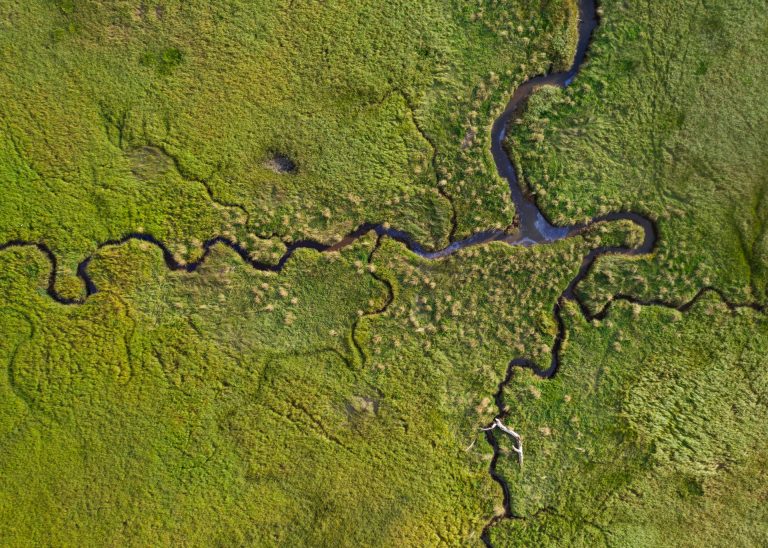
  • Aerial view of green coastal wetland with winding tidal channels and dense marsh vegetation.
    Environmental Services

    BC Oil Spill Response

    December 14, 2021March 4, 2026

    Archipelago examines oil spill response planning for British Columbia coastal wetlands, outlining environmental sensitivity, data gaps, and practical cleanup considerations to support effective preparedness, site-specific response strategies, and long-term protection of vulnerable marine and estuarine ecosystems.
    Read More BC Oil Spill ResponseContinue

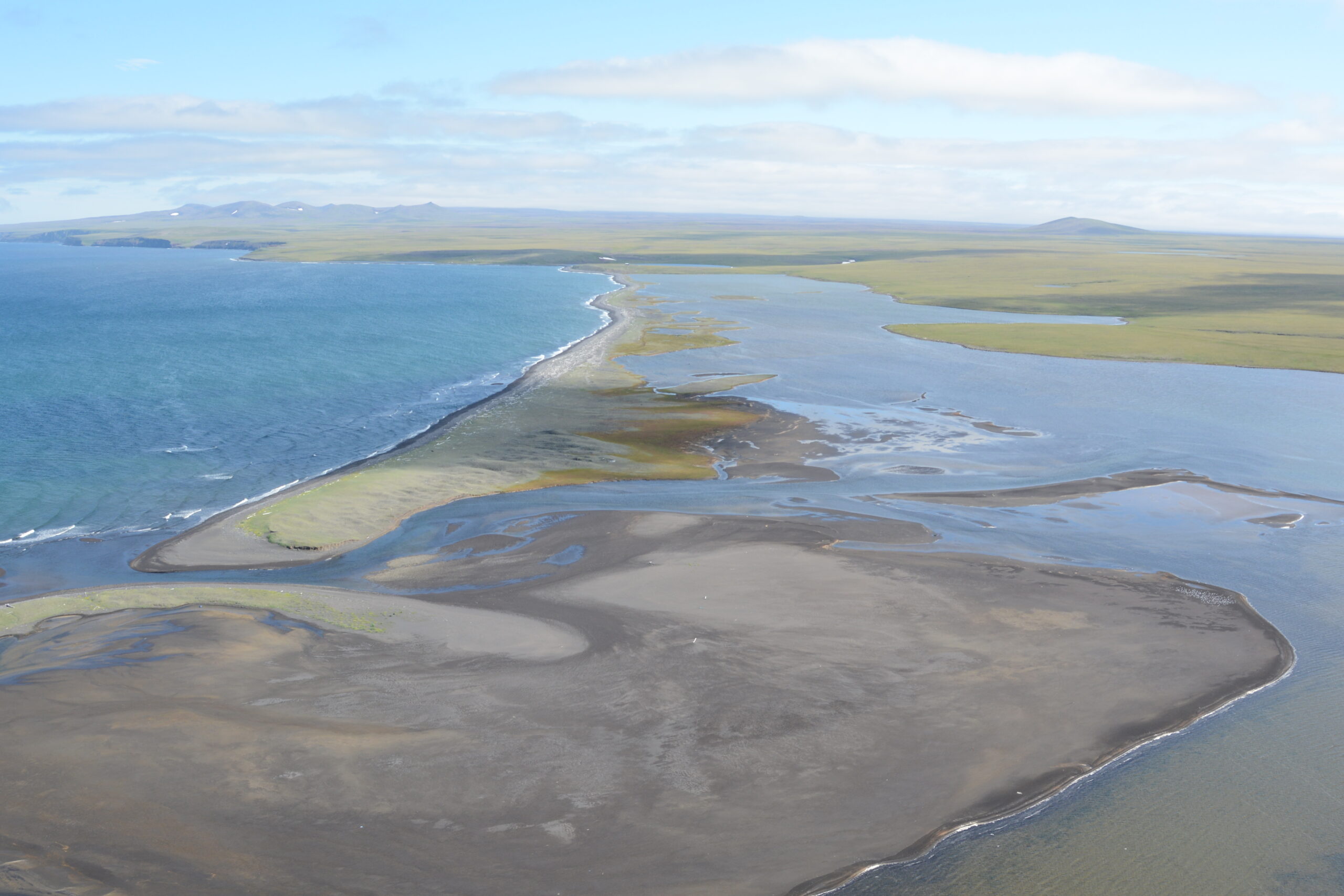
  • Aerial view of a narrow barrier beach and tidal flats separating the Bering Sea from lagoons and tundra on St. Lawrence Island, Alaska.
    Environmental Services

    ShoreZone Mapping Of Saint Lawrence, Alaska

    May 6, 2021March 4, 2026

    A coastal habitat mapping system which has been done for the whole coast of the Pacific Northwest. ShoreZone started flying in BC and then moved on to Alaska (Washington and Oregon coastlines have been flown as well) to fly dozens of surveys over the years, collecting low tide imagery to use for classification into descriptive, biophysical spatial dataset.

    One of the most remote places in Alaska that was surveyed for ShoreZone is Saint Lawrence Island, over 100 kilometres off the coast of Nome Alaska in the north Bering Sea. The survey there was done during summertime low tides, in one week in the middle of July 2013.

    Read More ShoreZone Mapping Of Saint Lawrence, AlaskaContinue

  • Environmental Assessment for an Offshore Wind Energy Project
    Environmental Services

    Environmental Assessment for an Offshore Wind Energy Project

    March 22, 2021March 4, 2026

    Located off the coast of British Columbia’s Haida Gwaii islands in Hecate Strait, the site of the proposed NaiKun wind energy project is said to offer some of the strongest and most consistent winds anywhere in the world—ideal conditions for a renewable energy initiative of this type. This region is also highly valued by residents and visitors alike for its natural beauty and unspoiled wilderness.

    Read More Environmental Assessment for an Offshore Wind Energy ProjectContinue

  • Understory Kelp Salvage, Recolonization Of Disturbed Sites To Mitigate Temporal Habitat Loss.
    Environmental Services

    Understory Kelp Salvage, Recolonization Of Disturbed Sites To Mitigate Temporal Habitat Loss.

    March 22, 2021March 4, 2026

    Archipelago implemented understory kelp salvage and recolonization measures to reduce temporary habitat loss from dredging, supporting faster ecological recovery and maintaining functional kelp habitats critical to local fish productivity.

    Read More Understory Kelp Salvage, Recolonization Of Disturbed Sites To Mitigate Temporal Habitat Loss.Continue

  • Marine Habitat Creation and Monitoring: Rocky Reef Construction
    Environmental Services

    Marine Habitat Creation and Monitoring: Rocky Reef Construction

    March 22, 2021March 4, 2026

    Archipelago led environmental planning, design support, and monitoring for rocky reef habitat creation in Esquimalt Harbour, supporting effective construction, risk management, and post-construction assessment to establish functioning marine habitat within a complex harbour environment.

    Read More Marine Habitat Creation and Monitoring: Rocky Reef ConstructionContinue

  • Westcoast Connector Gas Transmission Project Environmental Assessment
    Environmental Services

    Westcoast Connector Gas Transmission Project Environmental Assessment

    March 22, 2021March 4, 2026

    Archipelago conducted the marine environmental assessment for the Westcoast Connector Gas Transmission Project, evaluating habitats, seabed conditions, and environmental interactions to inform pipeline design, mitigation measures, and stakeholder engagement.

    Read More Westcoast Connector Gas Transmission Project Environmental AssessmentContinue

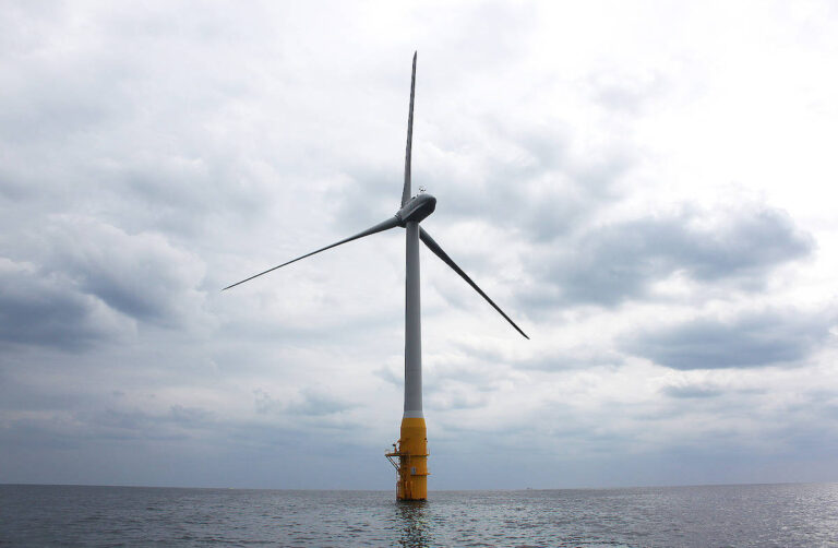
  • Single offshore wind turbine standing in calm open water under a cloudy sky.
    Environmental Services

    Environmental Assessment For An Offshore Wind Energy Project In B.C

    February 13, 2021March 4, 2026

    As part of an initiative to build Canada’s first offshore wind project, NaiKun Wind Energy Group—a British Columbia-based renewable energy company—engaged Archipelago to perform a marine environmental assessment of the region.

    Read More Environmental Assessment For An Offshore Wind Energy Project In B.CContinue

Work With Us to Build Trust Through Better Data

Collaborate with a team built for complex programs. We’ll help you collect, review, and report decision-ready information with confidence.

Explore Our Work Get in Touch
Archipelago Logo

Evidence you can trust, delivered through proven tools and field expertise, for over 45 years.

  • info@archipelago.ca
  • (250) 383-4535
  • 525 Head Street Victoria, BC, V9A 5S1 Canada

Services

  • At-Sea Observer
  • Dockside Monitoring
  • Electronic Monitoring
  • Coastal Planning
  • Habitat Assessments
  • Scientific Diving
  • Environmental Monitoring

Technology

  • FishVue Vantage
  • FishVue LIME
  • FishVue Mobile
  • FishVue AI
  • FishVue Interpret
  • FishVue Fleet
  • FishVue FLOAT

Stay Updated

Subscribe to our newsletter for the latest updates.

© 2026 Archipelago Marine Research Ltd. All rights reserved.

  • Privacy Policy
  • Code of Conduct
  • Data Consent
  • Cookie Policy (EU)
Archipelago
Your cookie choices

We use cookies and similar technologies to keep this site working and to understand how it is used. With your permission, we use Google Analytics and Jetpack Stats to count visits and see which pages people read. You can accept all, reject all, or choose which categories to allow. You can change your choice at any time using the Cookie preferences tab at the bottom right of any page. See our Privacy Policy or Cookie Policy for more detail.

Strictly necessary Always active
These are needed for the site to work, such as remembering your cookie choice. They are always on.
Preferences
The technical storage or access is necessary for the legitimate purpose of storing preferences that are not requested by the subscriber or user.
Analytics
These help us understand how people use the site so we can improve it. We use Google Analytics and Jetpack Stats, which collect information such as the pages you view, how you arrived, and your device and approximate location. They only run if you allow them. The technical storage or access that is used exclusively for anonymous statistical purposes. Without a subpoena, voluntary compliance on the part of your Internet Service Provider, or additional records from a third party, information stored or retrieved for this purpose alone cannot usually be used to identify you.
Marketing
Some pages use third-party services that may set cookies from their providers, such as Google reCAPTCHA, which helps protect our contact, careers and registration forms from spam, and embedded YouTube videos. These only load if you allow this category.
  • Manage options
  • Manage services
  • Manage {vendor_count} vendors
  • Read more about these purposes
Manage preferences
  • {title}
  • {title}
  • {title}

  • Our Services
    • Fisheries Service
      • At-Sea Observers
      • Dockside Monitoring
      • Electronic Monitoring
    • Environmental Services
      • Coastal Planning & Design
      • Habitat Assessments
      • Environmental Monitoring
      • Scientific Diving
      • ShoreZone
  • Our Technology
    • Onboard
      • FishVue Vantage
      • FishVue LIME
      • FishVue Mobile
      • FishVue Micro (Coming Soon)
    • Onshore
      • FishVue Interpret
      • FishVue Fleet
      • FishVue FLOAT (ELOG)
      • FishVue AI
  • About Archipelago
    • Company Overview
    • Meet the Team
    • Project References
    • Partners
    • Careers
    • Contact
  • Resources
    • Support
    • Archipelago eShop
    • Registration Forms
    • BC Geoduck
    • Reports & Writings
    • Data Consent
  • News & Insights